Another fun-filled weekend has come and gone and I have a lot to fill you in on. First of all, I got a new iPhone 6s! The thing I am probably most excited about is being able to finally take good pictures. My stupid little 4s just wasn’t cutting it anymore and had to be replaced. The only thing is, my new phone keeps acting up on me and I am starting to get super frustrated. It keeps dropping service and then I have to restart it to get a signal back. Sometimes I won’t notice for a while after it happens and then people think I’m ignoring their texts or calls. So weird. Any Apple people out there know what is going on???
Then Saturday, I got another peak in my bag, Castle Peak! That puts me at number 10 of my #15peaksin2015 goal! I’ll write up a post about that with some pictures in a day or so, but first I have to tell you about peak number 9, Mt. Rose. With a mission to get to 15 peaks this year and some serious catching up to do, I decided to do this on a weekday after work. I knew that it would be tight trying to get it in before it got dark, but we made it happen by running half of it.
On Wednesday, I left work at 3:00 and ran to go pick Jenn up. We each had one bottle of water and Jenn had a headlamp, just in case. I would strongly suggest doing this hike with MUCH more water than we had, but since we were running, we didn’t want to carry a backpack with water. We got to the trailhead at about 3:30 and started off. To get to the trailhead, take Mt. Rose Highway 431 to the summit. There you will see a large parking lot and restrooms on the West side of the highway. Park here, walk around the restrooms, and you will soon be on the trail. After a couple hundred feet, you will see the trailhead and some stairs up to the right. Take these stairs and you’re on your way.

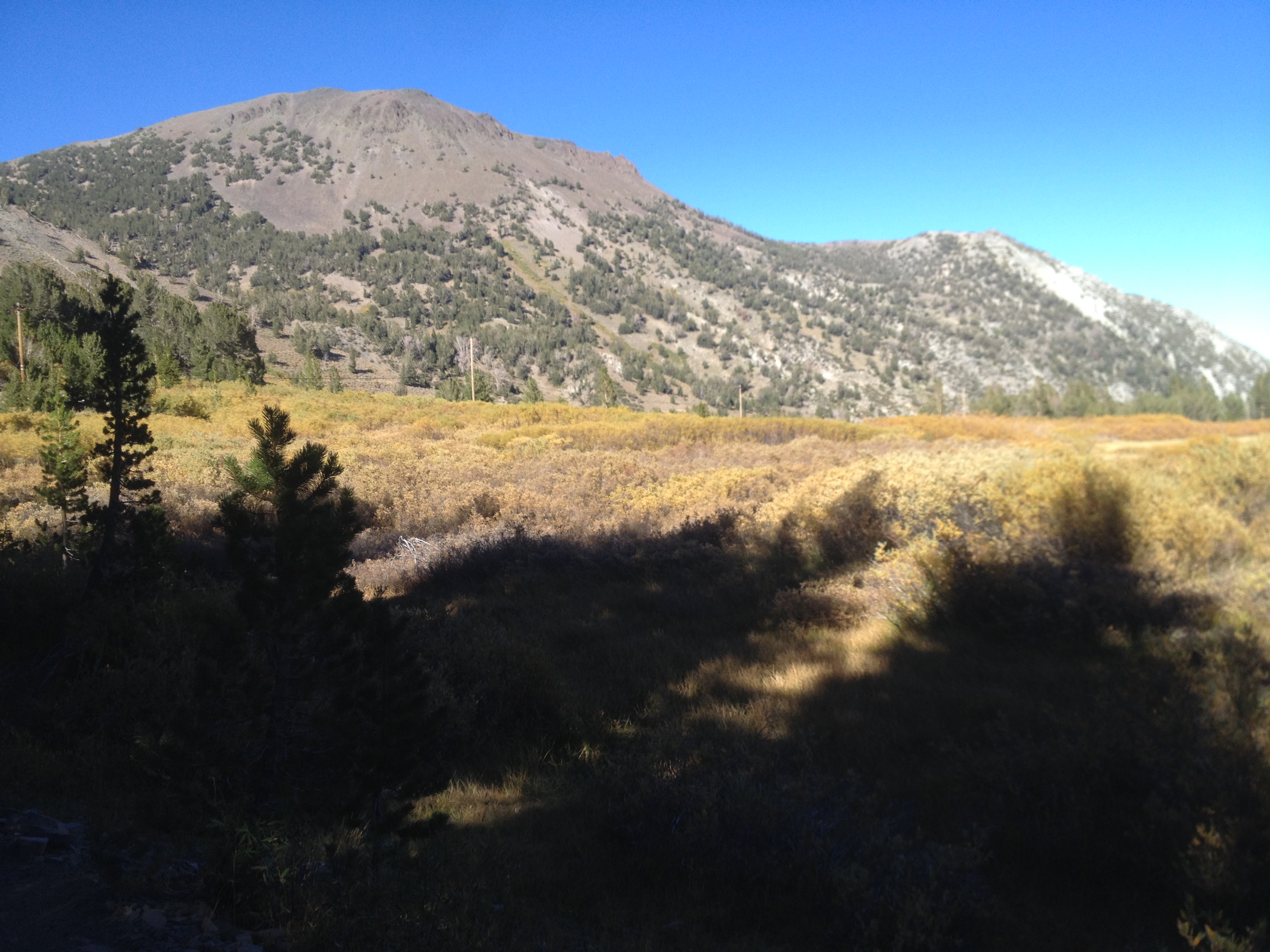
From here, the first half mile is slightly uphill and then tapers off for the next two miles. At the 2 1/2 mile mark, you will come to a waterfall that runs year round. This is where I usually turn around if I am just running. You can also go up the stream here to hike on to Mt. Houghton and Relay Peak. Cross over the stream though to continue on to Rose and the trail will wind through a beautiful meadow. At one point, we even noticed that there were hundreds of little frogs bouncing everywhere. Of course, we couldn’t resist and had to pick some up and make friends for a minute. We continued on running for a little bit longer until the trail starts to get steep. At this point, you are about two miles from the summit. The trail goes up the side of a mountain, through a canyon, then opens up. Here you will see a sign for the summit. The sign says that you are 1 mile from the summit, but someone scratched that out and wrote 2. Don’t listen to either. I used my Garmin watch and that read 1.3 miles when we made it to the top.
From the sign, the trail is mostly switchbacks with a couple of rocky areas, but all in all, the trail is really well maintained. It might actually be one of the best maintained trails that I have done all year. Once you get to the top, sit back, relax, and enjoy the incredible views. You can see Reno, Truckee, Donner, Prosser, Stamped, Boca, and of course, Lake Tahoe. This time of year, the trees were starting to turn, which made it even more breathtaking, as if that was possible.

We hung out at the summit for about 15 minutes and then headed back down to make sure that we would be back by dark. We barely made it and were back at the car a little after 7:00. It took us just over 3 1/2 hours to make the 10 mile trek, but keep in mind that we did run quite a bit of this. If you were just to hike this trail, I would say make sure to give yourself 4 1/2 – 5 hours.

I’ve got a couple of more peaks on my list for this week. I am determined to get all 15 and I can’t imagine how awesome it is going to feel when I do! In the meantime, I’ll share my hike to Castle Peak with you later this week. Have a good one!

Mt. Rose – 10,776′
- Total Distance – 10 miles
- Total Elevation Gain – 2,000′
- Pros – Beautiful views of the lake, well maintained trail, and a gorgeous waterfall along the way.
- Cons – Very popular hike, especially in the summer months. Can get really crowded.
Leave a Reply