

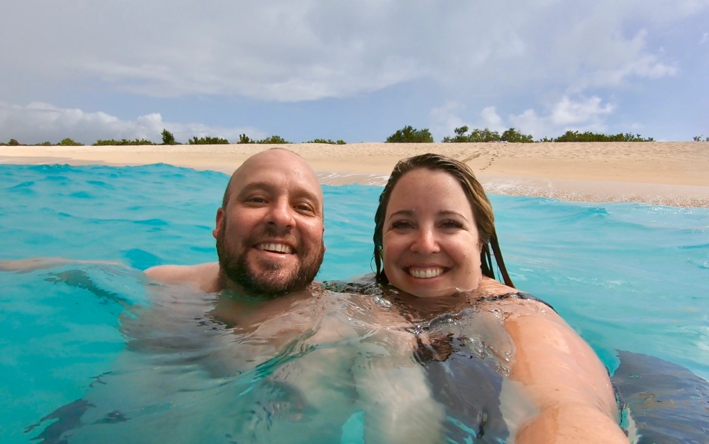
I love being surprised. Or maybe should I say, I love being pleasantly surprised because bad surprises are dumb. This weekend was definitely a pleasant surprise when I got to adventure in a new area that I really knew nothing about. I’ve lived 3 hours away from Feather Falls, CA almost my entire life, but I have never explored here. Maybe it is because it is off the beaten path, or maybe it is because I thought all of Central California was the same—nothing but rolling brown hills and lots of cows. I’m glad to squash this preconception. Feather Falls and the surrounding areas are full of lush green forests, crystal clear mountain streams, and some amazing trails.
This weekend Brian and I took a little road trip to visit his family and get away from the snow for a little bit. The drive from Lake Tahoe to Feather Falls in the Plumas National Forest is about 3 hours. We hit a bad snow storm on the way, but normally this drive would be fairly easy. I would suggest that you use Google Maps to find the trail head, but make sure that you do it ahead of time, because there is virtually no cell phone reception in this area. I was lucky that Brian grew up here and has made this hike several times.

Once you are at the trail head, you’ll start on an easy trail for about a half a mile. At this point, you will reach a fork and a sign that shows two different ways. We choose to take the shorter way, which is also the harder way, but… it is really only the harder way coming back from the Falls. On the way out, it is a series of steep downhill switchbacks, but absolutely beautiful forest. It had been raining really heavily in the area and we were both impressed with how well the trail was maintained. Although there were a few areas we had to navigate some rocks across very shallow creek crossings, it wasn’t bad at all.
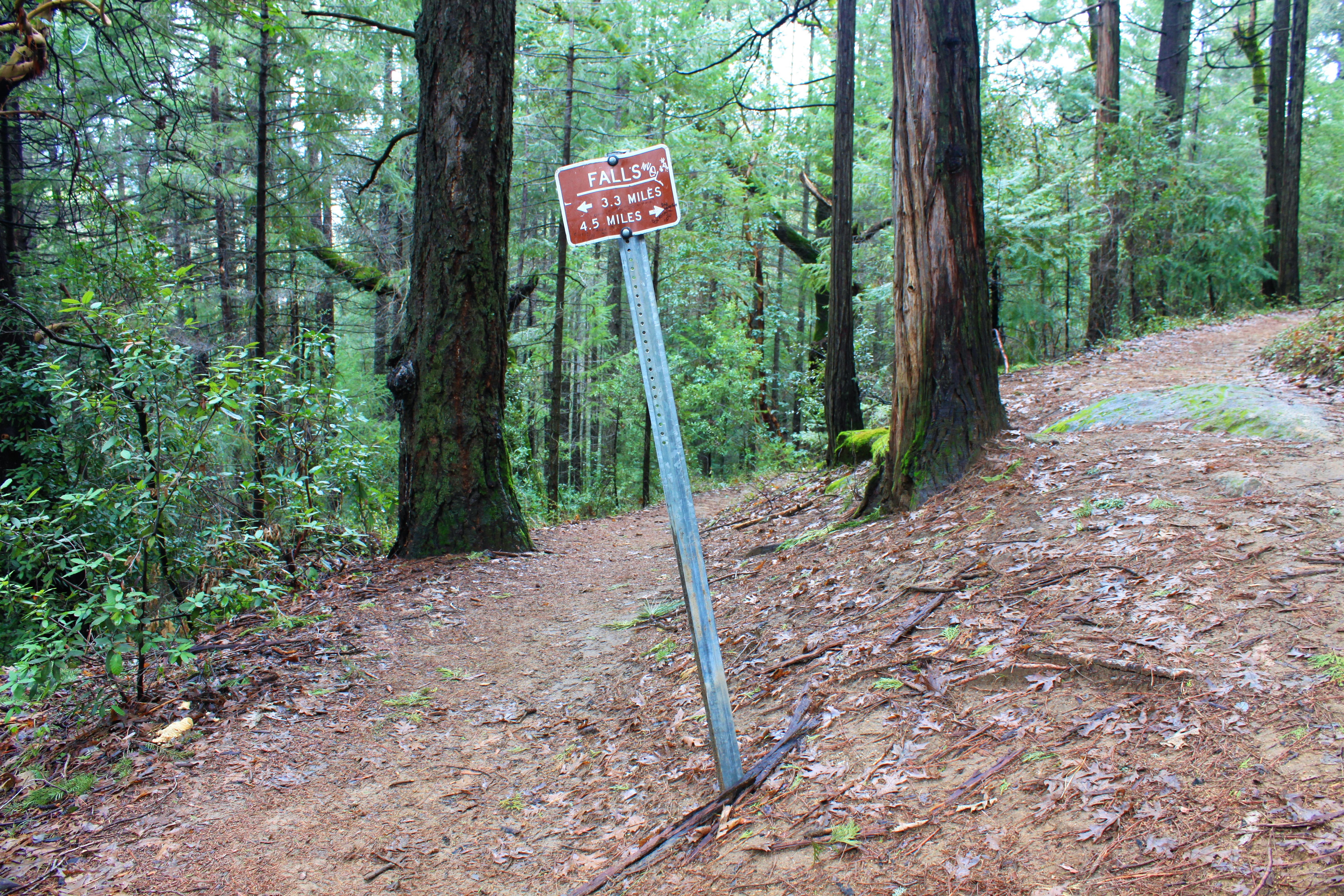


After about three miles of downs and ups and downs, you will reach another fork in the trail. There is a bench here to stop and take a breather if you need. At this fork, it is very important that you take the harder trail up. Brian said he always knew how to get to the Falls from here because you always take the harder trail. If you take the other trail, you will make it back to your car in two hours and miss the Falls altogether. We actually ran into someone who had a friend do this by accident and they were pissed. Don’t be that guy. I think it is some sick joke, because there are no signs telling you where to go here. The Forest Service is probably up in the trees laughing at all the people that don’t make the turn for the Falls.

Taking the trail up, in about a half a mile you will arrive at an overlook of the Feather River and then the Falls. After following the trail down some steps, you’ll end up at a viewing platform for your postcard-perfect pic. Snap a few, enjoy the mist coming off of the Falls, and take it in. With all the storms recently, the Falls were gushing with water. It was awesome to see that much power in action. There is a lot of conflicting information on the internet (surprise, surprise), but it is something like the 6th tallest waterfall in the United States. We’ll just go with that.

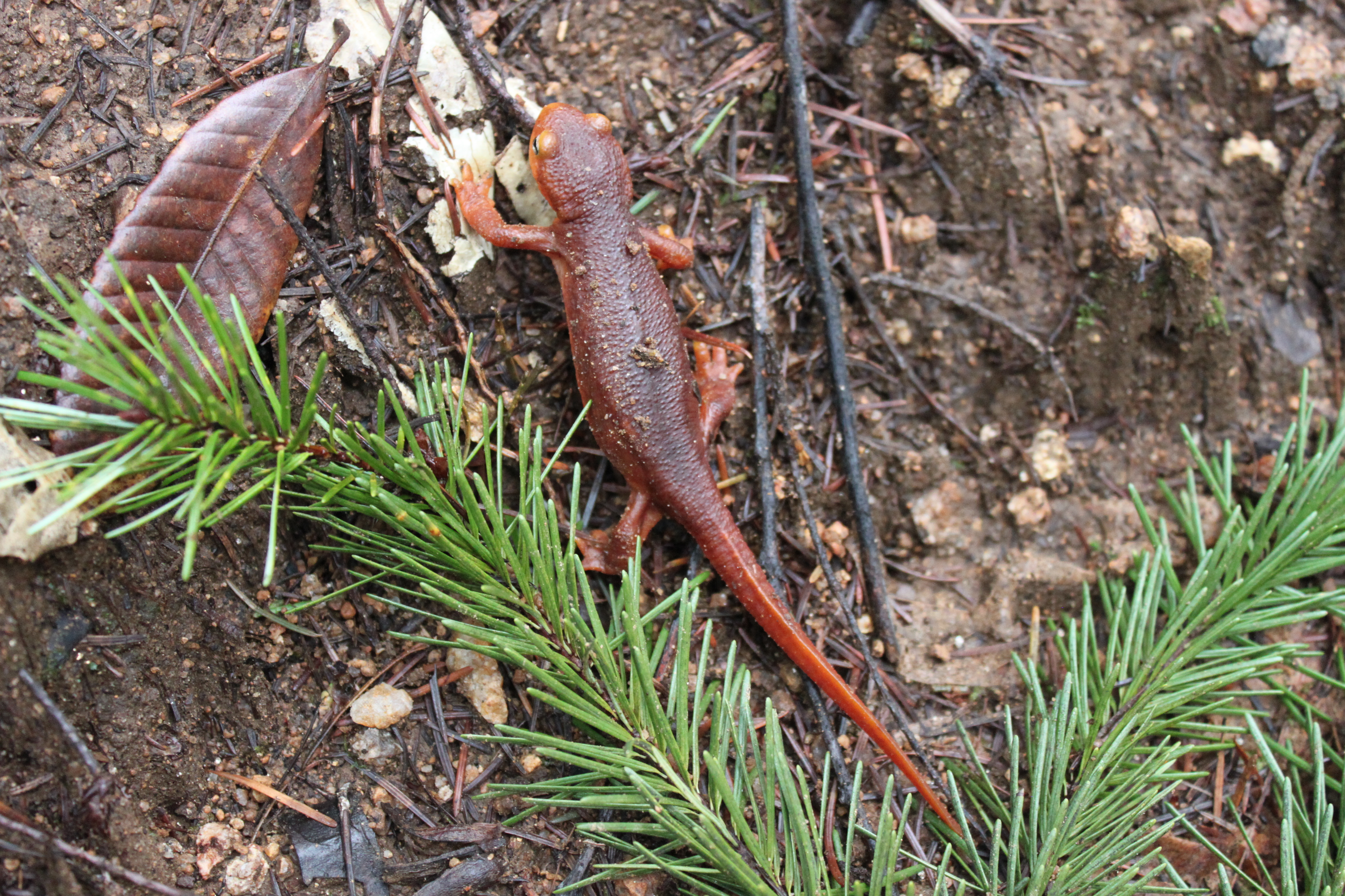
On our way back, we decided to take the longer trail when we got to the fork with the bench. It is longer, but doesn’t have the steep elevation gains and is much more gradual. I’d also much rather do a loop than an out-and-back any day. The trail back was in great shape and we made some slimy new friends, too. Be careful where you are walking, because you don’t want to step on one of our cute salamander buddies! We saw four of them along the way and I probably gave Brian a small heart attack every time I saw one, because I let out a little scream. I can’t help it. I get really excited sometimes!

When we got back to the car, our total time for the 8.5 mile hike was 4 hours. We definitely took our time, had good conversation, and stopped for a few pics along the way. I’m a little on the sore side today, but this is a hike I would do 100 times over. The trail was beautiful and the Falls were breathtaking. I can’t wait to go back, and maybe even backpack in and camp above the Falls. This hike is definitely one to put on your list and I was so glad that Brian shared it with me. I hope you get the chance to do it, too.
Feather Falls Hike
- Total Distance – 8.5 miles, depending on which trail you take
- Total Elevation Gain – 2,440′
- Difficulty – Moderate
- Pros – Beautiful shaded forest hike that leads you to a breathtaking waterfall.
- Cons – Long hike, but worth it. You also might want to bring some bug spray. We brought an unwanted tick back with us.

Leave a comment